
FREE Printable Continent and World Ocean Coloring Pages and Fact Files
If you would like to introduce your kids to world geography then we have the perfect set of continent coloring sheets with fact files about them too. These World Map Coloring pages are a great way for your kids to revise, review and learn about the continents of the world and the 5 oceans. So here you go our free printable continent coloring pages.
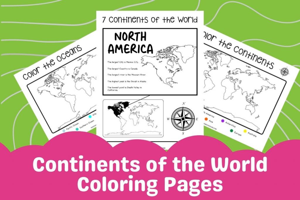
Free continent coloring pages
This set of printable pages is a great way to introduce world geography to your young children. You’ll be able to use them with Atlases and Globes to form a fun geography lesson including printable map pages.
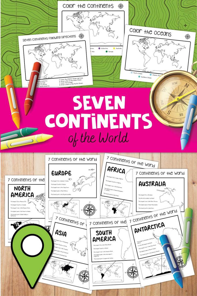
The pack is ideal to use to introduce the concept to your youngest kids whether in a geography topic or on social studies or can be used with older kids to review before delving deeper into continent studies, geology, or oceanography.
What is included in this World Continents Printable Colouring Pack?
You can find the free coloring pages below when you subscribe to the Rainy Day Homeschooling newsletter. Just fill in your details and then hit subscribe and you will get an email with your full pack just make sure you select the appropriate one for your country.
- Seven Continents Coloring Page
- Five Oceans Coloring Page
- Oceans and Continents Coloring Page
- Individual Fact Files for
- North America
- South America
- Europe
- Asia
- Africa
- Antarctica
- Australia
There are 2 different versions of this worksheet set that you will receive in the email, one for printing in the United States, the other in the UK with relevant spellings and paper sizes making these free colouring pages ideal for use in different countries. So just grab your coloring supplies and get using these simple fun designs of continent worksheets with your kids.
Why not combine these printable continent coloring pages with some fun geography board games to support your child’s learning further.

Resources for Use with This FREE Printable
This post may contain commission or affiliate links. As an Amazon Associate, I earn from qualifying purchases.
To make the most of the printable we recommend some of these resources.
The printer we use and recommend is an Epson EcoTank – see the version we have been using for 3 years here for home education, and printing for school work with our eldest.
We then have a great globe and a couple of different Atlases that we use regularly when we study world geography. You can click on the images or links to take you to them on Amazon.
The Globe we picked for our kids is large, it also features mountain ranges and ocean ridges which as they get older we’ve used more and more to discuss currents, tectonic plates, and more.
We have 2 different National Geographic World Atlas books the first is specifically for kids and is great for introducing the concepts of maps, countries, and the earth to children of all ages. The next is a Family Reference Atlas of the World, this book is fantastic as it includes different types of maps from physical to political as well as information about the earth.
With coloring supplies – we use a mix of different media, I love this set of pencils as there is such a wide range of different colors in it, but these pens are also great for use throughout our homeschool studies.
Check out why we explore both physical and human geography in our homeschool!
FREE Continent Colouring Sheets
Just fill in your details below and check your inbox for all the details to get this fantastic fun world geography coloring pack for your homeschool.
